
The Geographic information system and Remote Sensing unit at Aswan University organized a training course about the basics of geographic systems in the first activity of the new center after its opening.
The seminar was attended by Dr. Ahmed Ghallab Mohammed_ Aswan University President, Dr. Al-Sayed Ewais_ Director of the Center_ and the students participating in the course.
Ghallab confirmed that the Center for Geographic Information Systems and Remote Sensing was established at the university to provide the needs of southern Upper Egypt from geographical information especially to the environmental community and natural resources such as soil, water and air in order to achieve University goal in preserving the environment by detecting the different changes by Geographic information system.
He pointed out that the new center meets all information requests for governmental, private and scientific bodies based on the university orientation towards providing information to all society segments so that the preservation of the environment is a key factor in all projects and services implemented by these agencies.
Dr. Ewais added that GIS and remote sensing have become one of the most important means used to support decision-making in various ministries of the state. It is one of the most important means of planning and development. The center seeks to spread the cultural awareness of geographic information systems and using geographic information maps for all, Only where these systems are used to accomplish infrastructure and oil discoveries, locating Water wells sites, water and fisheries, and monitor and manage crises and natural disasters.
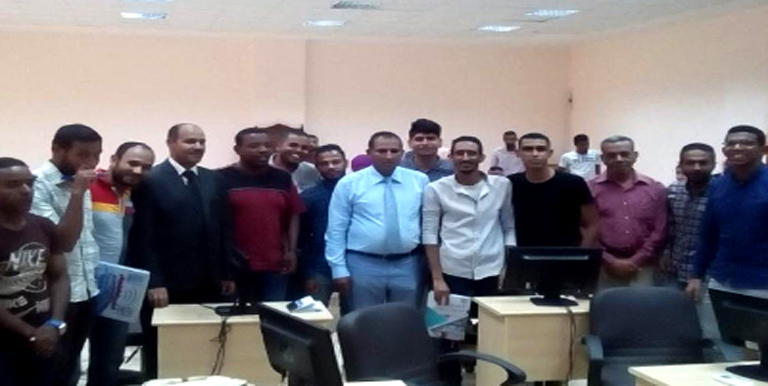
He pointed out that the center also organized another course to help students in preparing graduation projects with participation of (40) students. The center will organize a new course in geographic systems in July.